

Following Storm Goretti, which brought severe winds and heavy rain, the UK faces a potential return of colder temperatures by the end of the month. The Met Office anticipates a struggle between Atlantic weather systems and high-pressure cold air from the east. Initially, milder Atlantic conditions are expected to bring changeable weather with showers and average temperatures.
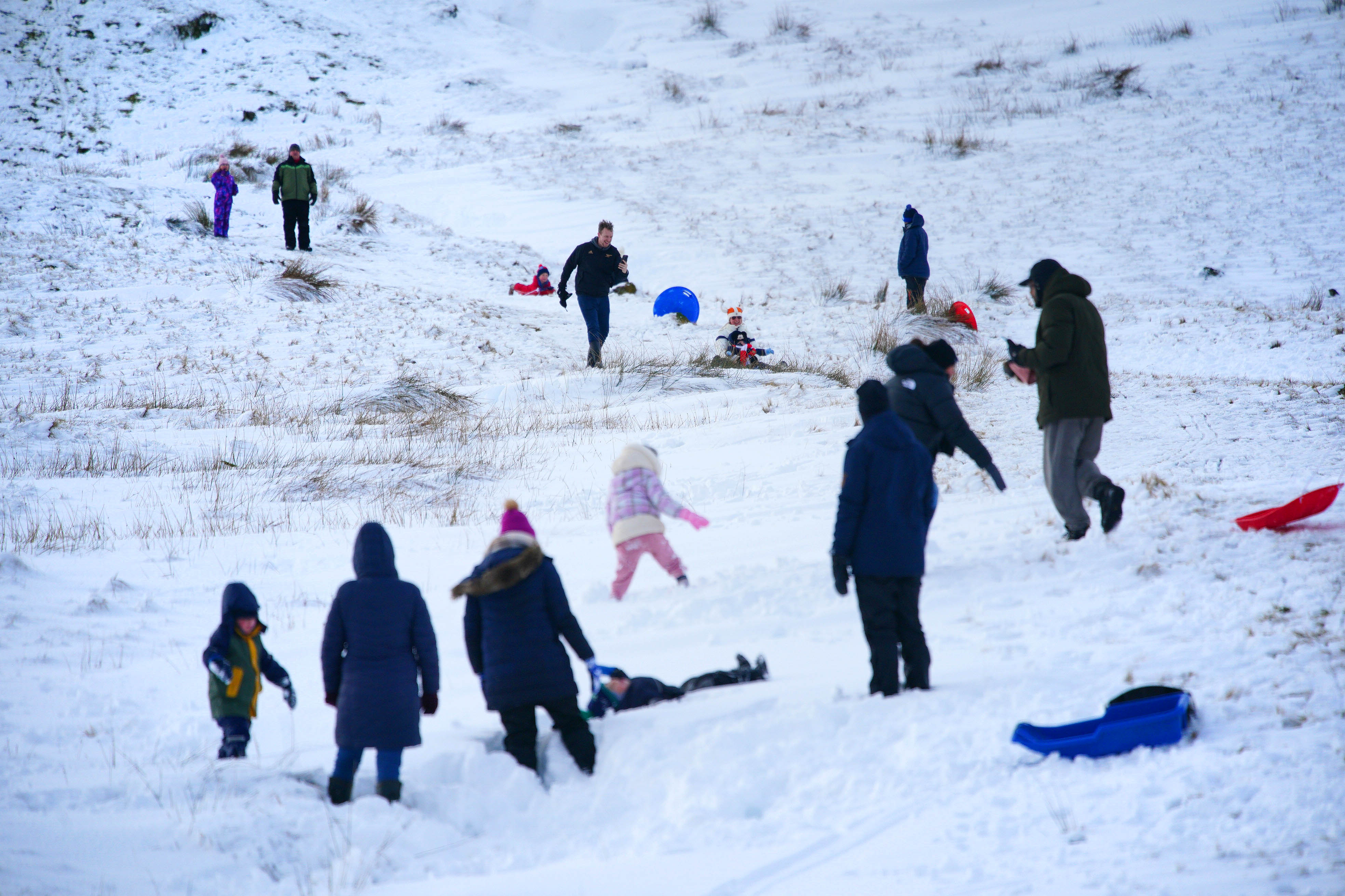
However, towards the end of January, there's a growing possibility of colder weather, which could lead to snow in various parts of the country. This forecast remains somewhat uncertain, but the transition to colder conditions increases the likelihood of snowfall. Despite this possibility, no weather warnings are currently in effect, and temperatures this week are expected to range from 4 to 11 degrees Celsius. The west of the country is predicted to be the wettest, while the east will be drier. Last week, wintry showers caused significant disruption, leading to school closures in northern Scotland and substantial snowfall in parts of England and Wales, described as the "worst snowfall in a decade" in the West Midlands. Current forecasts for the coming days indicate fog patches, sunny spells, and showers, with rain expected in the west and drier conditions in the east. Overnight fog and potential frost are also forecast for the north early next week.