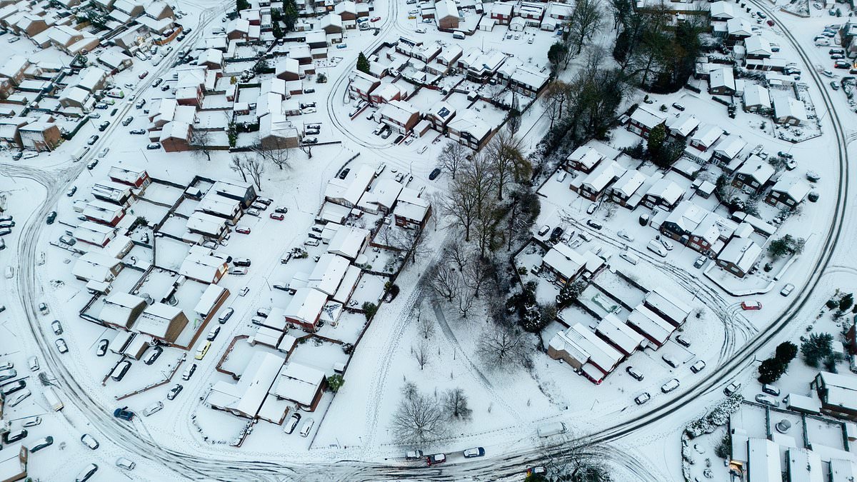
Britain is facing the threat of up to a foot of snow as the Met Office has issued an amber warning for Scotland, effective from Sunday morning. This warning, which covers areas from North East Scotland to Tayside and Central Scotland, signals severe travel disruption, potential power outages, and risks to life and property. The amber alert comes in the wake of Storm Goretti, which has already caused significant damage and disruption across the country, including the death of one man.
The forecasters anticipate 2-5cm of snow at lower elevations and up to 30cm on higher ground, raising concerns about extensive snowfall. Transport Scotland has cautioned about challenging driving conditions, possible road closures, and the threat of power cuts. This new warning follows widespread power outages experienced by thousands of properties in the South West, West Midlands, and East Midlands, though power has since been restored in Wales. The government has pledged support for affected households and is addressing water supply issues exacerbated by the cold weather and storm.
Beyond snow, a dangerous combination of melting snow and heavy rain is predicted to increase flood risks. The UK has already recorded significant snowfall in various regions, including Powys, Shropshire, Nottingham, and multiple locations in Scotland. Cornwall experienced the heaviest rainfall, with over 60mm recorded. Meanwhile, authorities have criticized tourists for dangerous parking in Snowdonia, where people flocked to see the snow, despite police warnings about risky behavior on icy mountain roads. Hikers have also been seen attempting to climb Snowdon despite avalanche warnings.
The Met Office has also issued various yellow warnings for snow, wind, and rain across the rest of the UK, with National Rail anticipating disruptions throughout the weekend. A Met Office meteorologist described the weekend weather as unsettled and cold, with wintry showers expected in coastal areas, particularly in the north and east. While Sunday may start dry in the east, rain moving in from the west is expected to turn to snow inland across the North Midlands and further north, though temperatures are predicted to rise later in the day. Strong winds and coastal gales are also forecast. The weather is expected to remain unsettled into the next week, with milder temperatures and persistent rain in the north and west.